
Wallace’s Tower is a ruined 16th-century tower house, situated near Roxburgh on the west bank of the River Teviot in the Scottish Borders. Despite its name, the tower has no connection to the famous Scottish patriot William Wallace.
It was built around 1543 and was part of the estate owned by the Kers of Cessford, a notorious family of Border Reivers. Historical records from that year confirm Walter Ker (also spelt Kerr) as the owner of the land of the East Mains of Roxburgh.
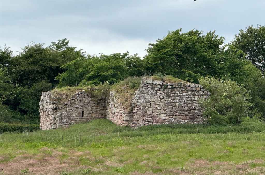
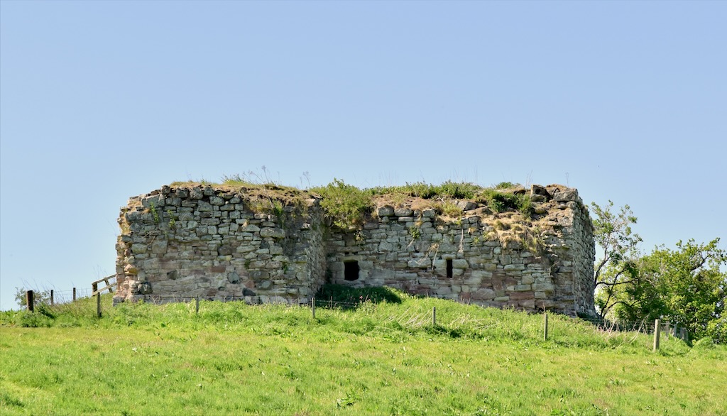
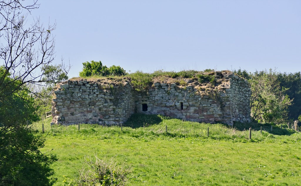
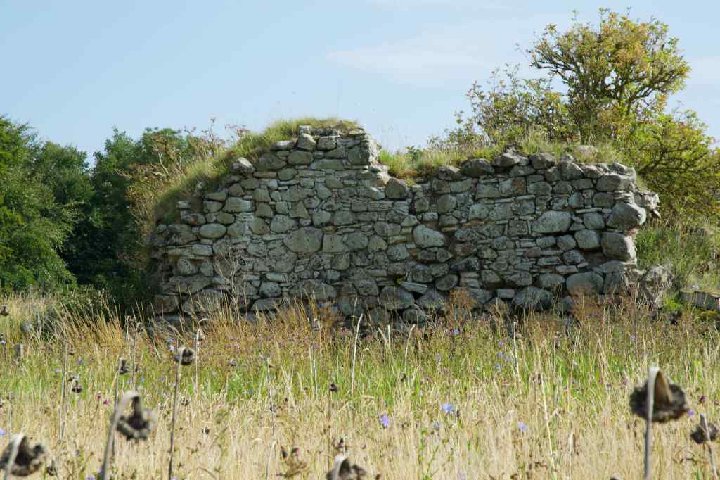
Sitting alone in a field, its crumbling and overgrown walls conceal a brief history filled with violence and intrigue.
As a prominent Border Reivers, the Ker family would have built Wallace’s Tower specifically as a fortified home to withstand raids by rival Reiver families. The tower would have showcased the family’s power and status, making it both a target and a refuge.
But just one year after its completion, Henry VIII of England dispatched his army northward to burn Scotland and intimidate its people. This marked the beginning of the eight-year-long “Wars of the Rough Wooing”. A brutal campaign aimed at enforcing a marriage alliance between his heir, Edward, and the infant Mary Queen of Scots.

The borders were always likely to be in danger, and in 1544, the destruction began. English forces under Sir Ralph Eure burned Wallace’s Tower during one of their campaigns. In 1545, it was attacked again, this time by the Duke of Somerset, who destroyed it completely, probably beyond repair. This destruction symbolised the wider devastation of Border strongholds during the Wars of the Rough Wooing, when English forces repeatedly targeted Scottish fortifications.
Sadly, we don’t really know if the tower was rebuilt. Some sources say it wasn’t abandoned until 1700, while others say it was left to decay after the Rough Wooing.
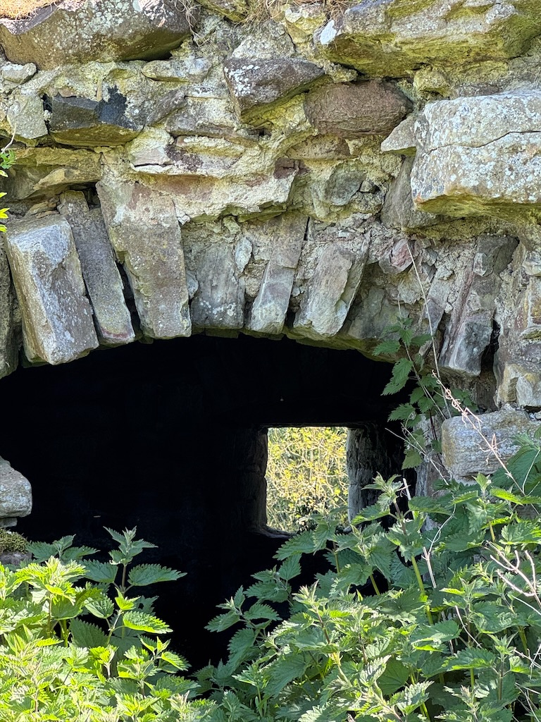
The current remains are of an L-shaped tower, of which only the basement remains, with part of the west wing missing. The main block, which is barrel-vaulted, measures 8.8 metres by 5 metres, with walls varying in thickness from 1.1 to 1.6 metres. There are no gun loops or shot holes, but it has slit windows high in the walls. The wing, also barrel-vaulted, housed the entrance and stairs. Besides recesses called aumbries, the main block featured two wooden lamp brackets in the north wall. It also had a yett.
Today, Wallace’s Tower is an important yet severely ruined example of a 16th-century L-plan tower house built from freestone rubble. But why it is so-called, nobody seems to know. Indeed, its main historical significance lies not in its folkloric connection to Sir William Wallace, but as a crucial, though short-lived, military investment by the Kerrs of Cessford in 1543.
Finding Wallace’s Tower is simple. From the A698, turn onto Bowmont Court (signposted for the SCHLOSS hotel) and proceed to the Teviot Viaduct. From there, cross the footbridge, and with the river behind you, Wallace’s Tower will be in the field on your right. There is a gate into the field at the end of the footpath that runs below and alongside the old railway.

Although the area is accessible, the tower itself is fenced off and badly overgrown. On dry days, the main hazard is nettles, but the ground can be soft and muddy if it has rained. There are no local facilities.
Wallaces Tower: OS National Grid Reference NT 70016 30477
Further reading
Alistair MT Maxwell-Irving, 2014, The Border Towers of Scotland 2, (Maxwell-Irving)
Martin Coventry, 2025, The Castles of Scotland, (Goblinshead)


Leave a comment